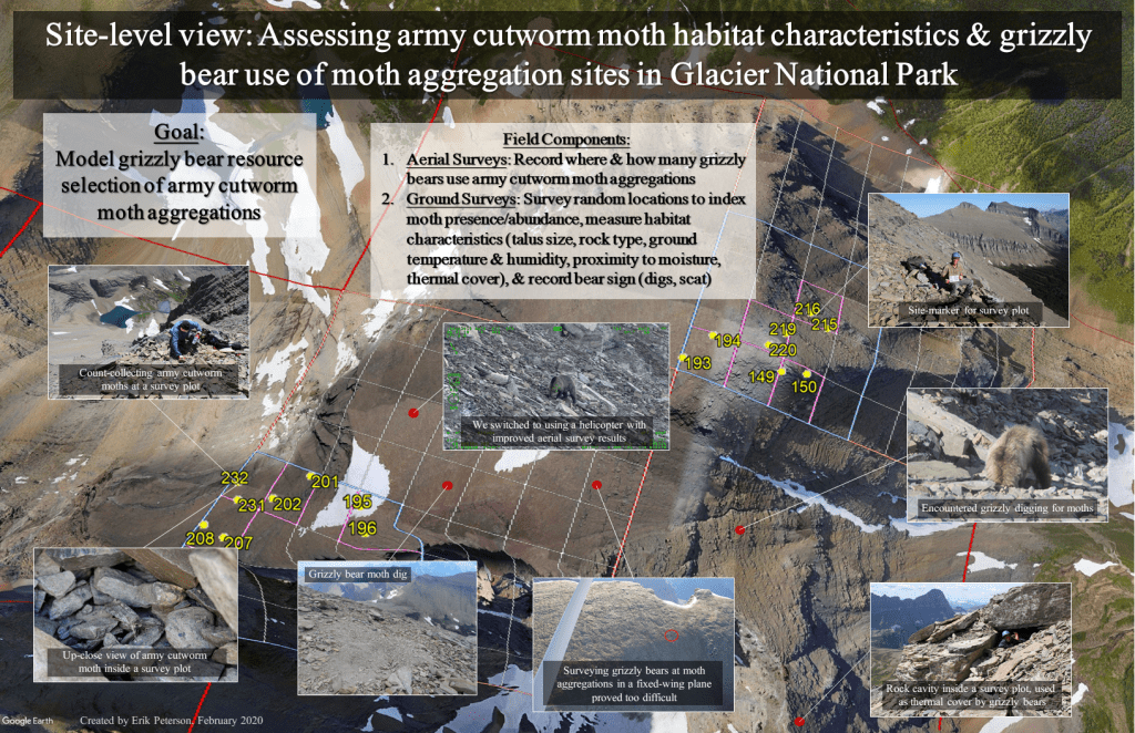
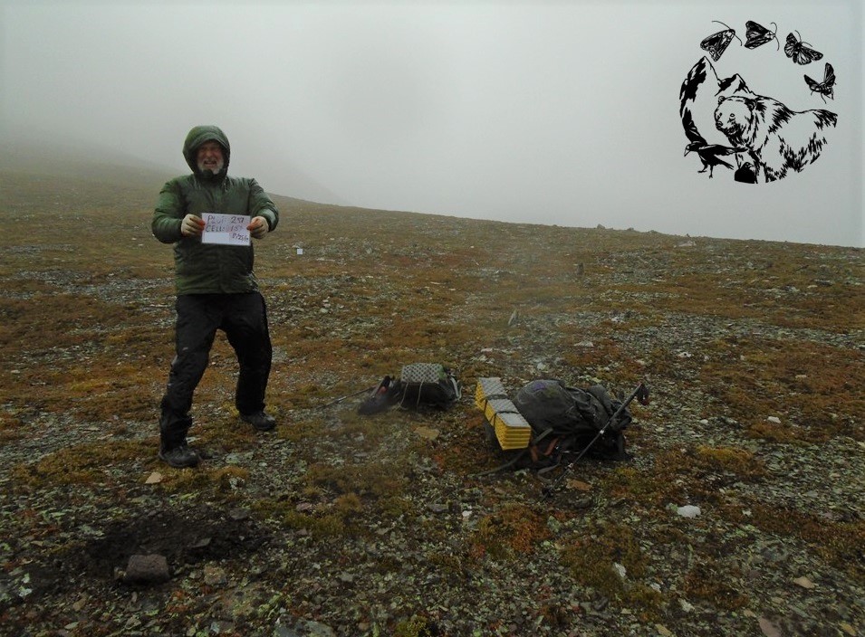
Our research performs ground and aerial surveys across the study area to determine army cutworm moth occurrence and grizzly bear use. Technician support focuses on ground surveys, which entail scrambling into survey units to sample randomly-generated survey plots located therein. Typically, this requires technicians spend multiple days safely navigating mountainous terrain and bivouac camping on talus slopes. To operate safely, technicians use sound judgement per route selection, camp location, working in proximity to grizzly bears, and managing environmental conditions (wind, sun, and inclement weather) during the course of their field efforts.
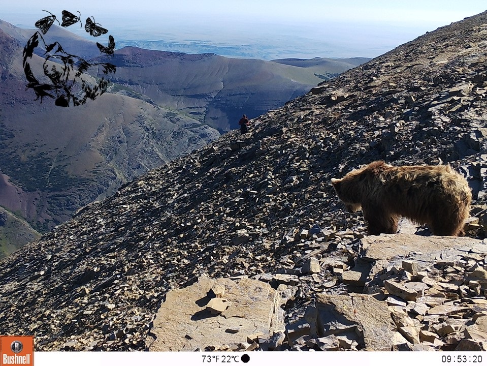
Aerial surveys are performed by the graduate student on two-week intervals across the survey season. These surveys provide more robust data on where grizzly bears feed on army cutworm moths as well as trends in use at individual sites. In 2019, we initiated these surveys using a fixed-wing aircraft. Due to challenges associated with flying in our study area, we transitioned to using a helicopter provided by Two Bear Air. This helicopter is equipped with state-of-the-art infrared camera technology, which provides pinpoint bear-use location accuracy.
To see a visualized summary of project field effort, please examine this graphic below: